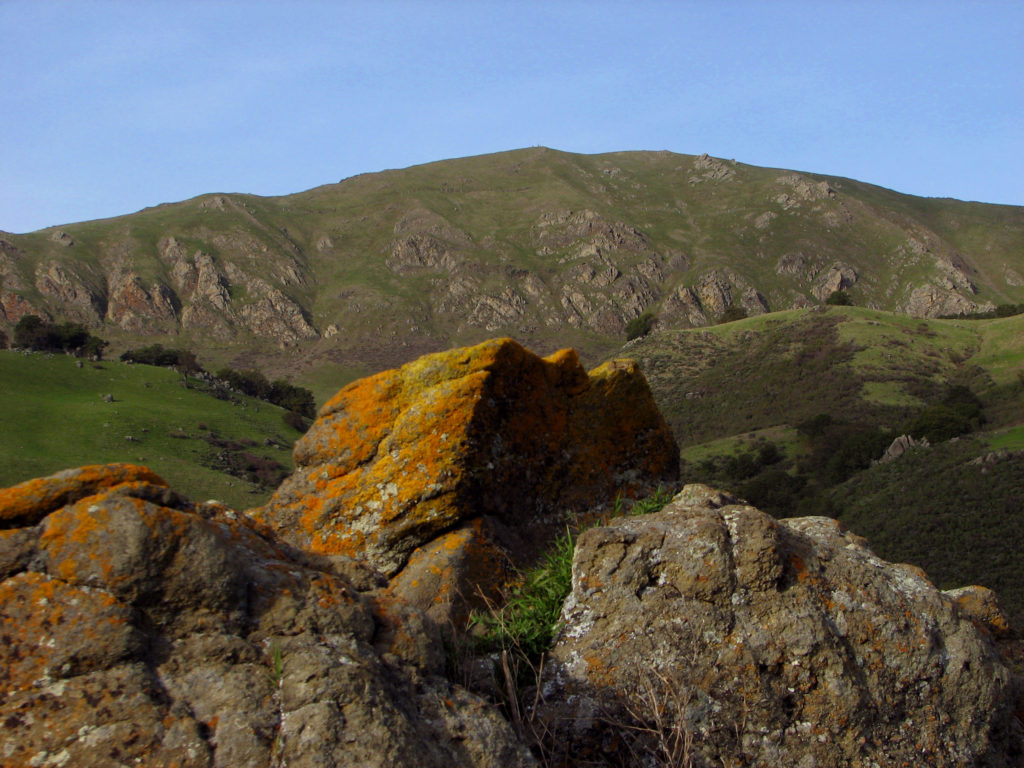
With stunning views overlooking Silicon Valley, Mission Peak Preserve is a part of East Bay Regional Park. East Bay Regional Park is a 3,000-acre public park including Monument Peak and Mount Allison. Mission Peak is the northern point of this ridge.
At the summit of this peak, you will find the “Mission Peeker.” The most famous landmark in the Fremont. You will find that it is a favorite place for sightseers to stop and take photographs at this landmark.
Popularity surged after 2010. On average, Stanford Ave. entrance will see 2,000 visitors on each weekend day. Making Mission Peak the most popular tourist attraction in Fremont. If you enjoy hiking at Mission Peak, another great place to check out is Coyote Hills regional park, also in Fremont.
 Hiking & more
The stunning views and variety of trails make this a favorite place for hiking, bicycling, horseback riding, and dog walking. Known for its vista and challenging climb making it a popular choice for sightseers and walkers as well.
The trails are exposed to a lot of mid-day sun and offer very little shade. You will find water and restrooms at the Stanford Ave. entrance. The Mission Peak trail also has restrooms and a water fountain. Food and water are not sold in the park, so be sure to bring plenty with you.
Trails
There is a full 6-mile round trip tail. For walkers, this trail can take 2 to 5 hours to navigate. And for bicyclists and runners, it can take up to 1 ½ hours. You should expect a lot of mid-day sun which can lead to dehydration. So take care and bring extra water and plenty of sunscreen. You should bring 2 liters of water per person with extra for dogs.
Three trails climb the northern and western faces of the mountain. On the western face of the mountain, you will find The Hidden Valley Trail & the Meadow Trail are on the west face of the mountain. The Hidden Valley Trail is 3 miles and the most popular trail with visitors. Both paths have a 2,100 ft. elevation change with stunning views of the Bay Area. These trails get a lot of sun exposure with little shade. So, be sure to bring extra water with you. The Mission Peak Trail starts at Ohlone College and also has an elevation change of 2,100 ft. You will find it is a bit longer than the Hidden Valley Trail.
There are two less popular approaches. The Sunol route is just over 5 miles with a 2,200 ft. climb. This trail has a gentler grade than you will find on the Hidden Valley Trail. The Levin County Park will take you 3 miles to Monument Peak with a 2,200 ft. climb. From there Mission Peak is about another 3 miles along mostly flat terrain.
You will find that not everyone follows the terrain of the park, some take to the air.
Hang Gliding – Paragliding
Mission Peak is also a favorite spot for hang gliding and paragliding. In fact, the Wings of Rogallo have been hang gliding and paragliding here since 1983. One of the founders of Wings of Rogallo, Dave Kilbourne, hiked to the top of Mission Ridge on September 6, 1971. He launched a flex wing hang glider and flew for more than an hour. He was the first person in the world to accomplish this.
Driving Directions to Smile Matters – Preet Sahota DDS from Mission Peak:
- Head southwest on Grapevine Terrace toward Rutherford Terrace
- Turn left onto Rutherford Terrace
- Turn right onto Vinehill Cir
- Turn right to stay on Vinehill Cir
- Turn left onto Antelope Dr
- Turn right onto Mission Blvd
- Continue straight to stay on Mission Blvd
- Use the left lane to turn left onto Stevenson Blvd
- Turn left onto Stevenson Pl